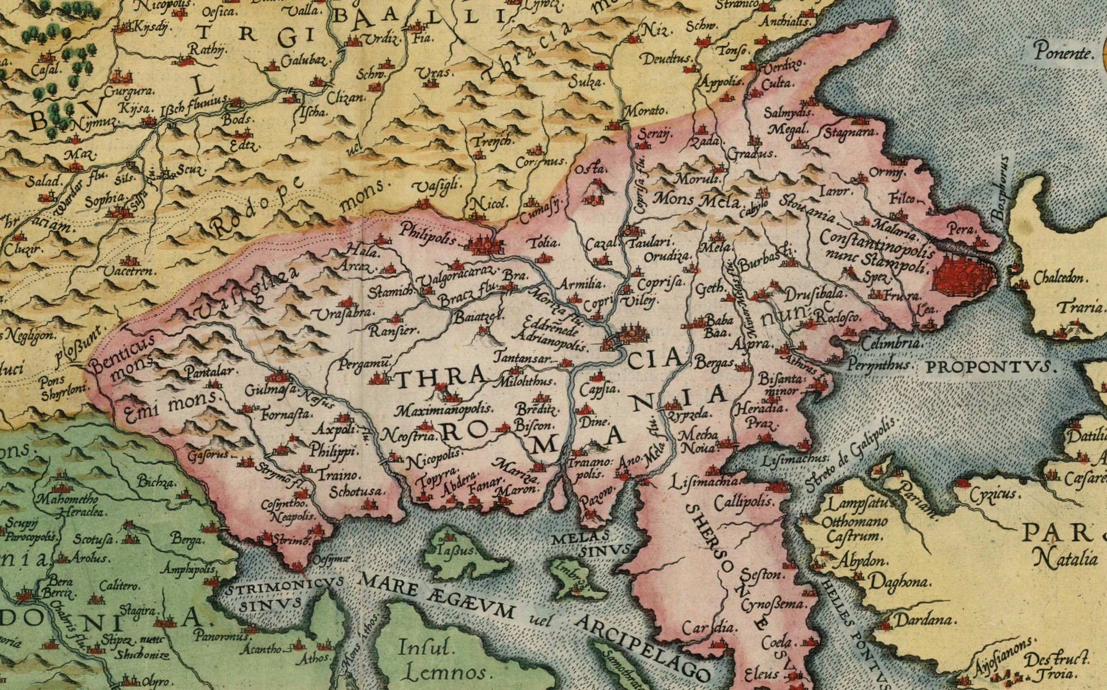
The study of Aegean Thrace has traditionally focused on historical topography, that is, on identifying cities, settlements, and significant sites–monuments through written sources, maps, and historical records. This approach has provided valuable insights into the organization and functioning of ancient communities, but it has often been limited to a static and fragmentary framework.
Today, research is turning toward landscape archaeology, which examines the region as a unified, dynamic environment where natural conditions, human interventions, and socio-cultural interactions jointly shape the landscape. Through archaeological findings, geospatial techniques, environmental analysis, and GIS technologies, we can gain a deeper understanding of how people related to their surroundings, how they modified it, and how they experienced it in their daily lives.
The shift from historical topography to landscape archaeology opens new pathways for understanding the region, allowing us to see not only individual monuments and sites but also the relationships between people, communities, and their environment over time. Through this holistic approach, the area of Aegean Thrace emerges as a living landscape, where history, ecology, social interactions, and material culture played a decisive role in shaping it.
Historical topography has for decades been a key tool for understanding the past, focusing on the identification of sites of historical and archaeological interest, their correlation with place names known from ancient sources, and their interpretation through the creation of maps and historical-archaeological discourse. It highlighted various types of remains of the ancient built environment (cities, sanctuaries, road networks, etc.) within an interpretive framework that emphasized identification and spatial accuracy. This approach often resulted in a more static perception of space, as a stage upon which historical events unfolded.
Since the late 20th century, landscape archaeology has proposed a different perspective. The built and anthropogenic environment is no longer treated as a neutral backdrop but as a multi-layered and dynamic field of interactions. Drawing on the rich body of data produced by topographical research, it goes beyond the identification of ancient toponyms and examines how people shaped and attributed meaning to their space over time. Settlements, agricultural lands, monuments, and roads are interpreted within the framework of an ongoing interaction between society and environment. Thanks to landscape archaeology, research has shifted its focus from the point-based and static to the dynamic and experiential. This shift has been accompanied by methodological and technological innovations. In terms of field archaeology, research has turned towards systematic survey projects, ecosystem analysis, geoarchaeological approaches, and the use of Geographic Information Systems (GIS). Regarding its theoretical dimension, landscape archaeology draws inspiration from social anthropology, geography, and spatial theory, emphasizing issues of identity, memory, and perception. The landscape is thus understood as a living and ever-changing social construct, one that incorporates memories, narratives, practices, and representations